Read the map
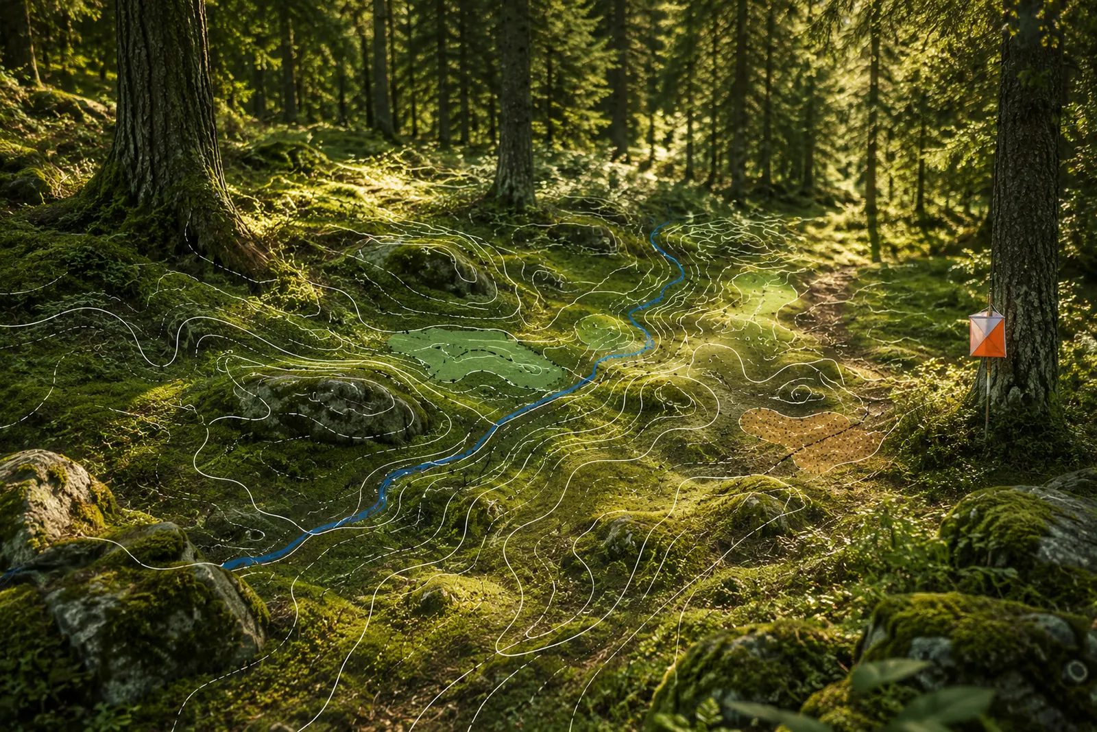
Detailed orienteering maps reveal terrain, vegetation and paths—never your live position.
 oriently
Navigation becomes the adventure
Think Strava for progress and geocaching for discovery—purpose-built for orienteering. Run public courses whenever you want. No blue location dot. Just you, the map and the terrain.
47°22′ N · 8°32′ E
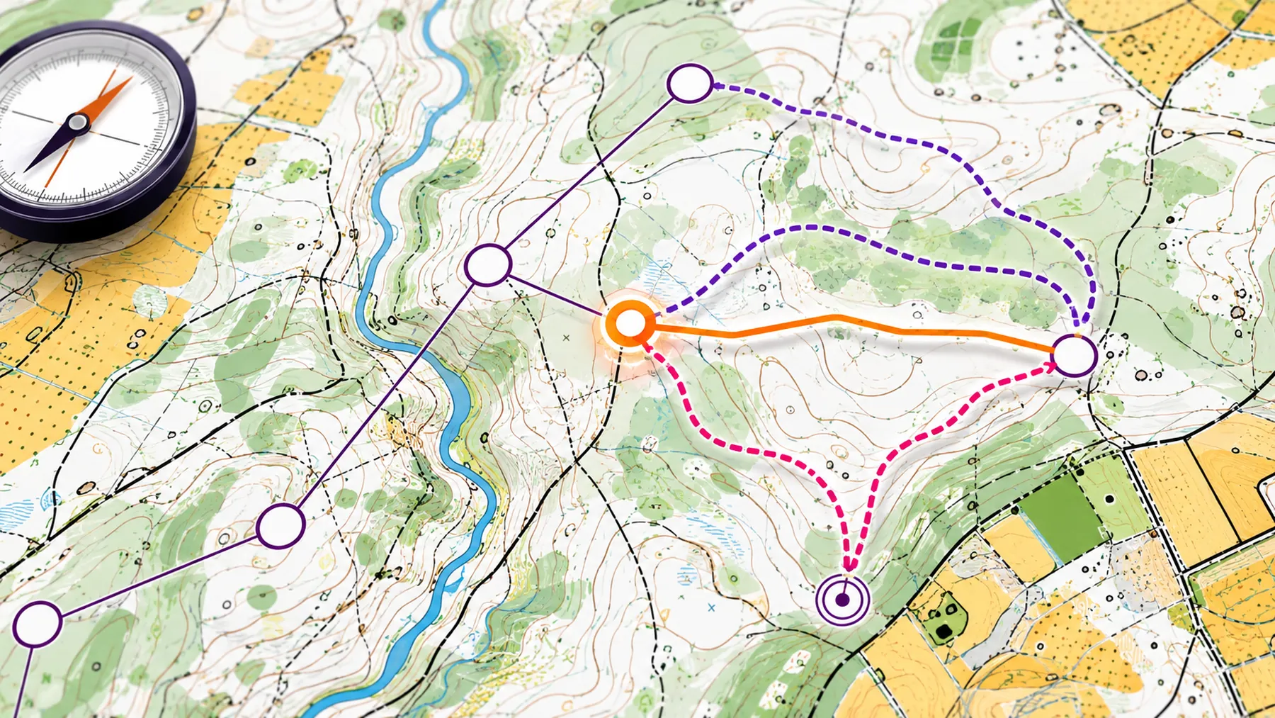
The fastest line is rarely the best route.
Your run. Your decisions.
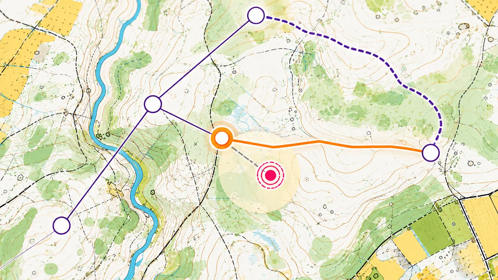
Detailed orienteering maps reveal terrain, vegetation and paths—never your live position.
A focused compass lets you aim for the next control and set your own direction of travel.
Drop a guess on the map and check your accuracy as often as you need while learning.
Asynchronous outdoors
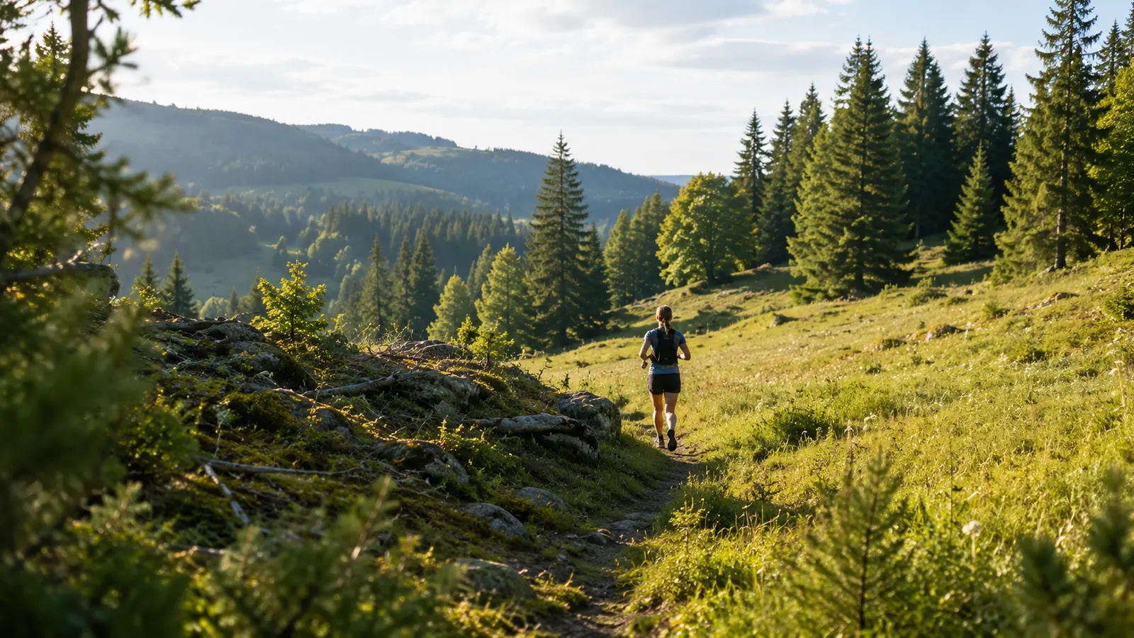
Find a course nearby, start on a whim and complete it at your pace. Repeat a route to improve your time, or deliberately practise a different route choice.
Made for the outdoors
Oriently rewards attention. Contours, vegetation boundaries, streams and your own sense of direction matter again.
Why we built it
Downhill, yes. But pointing a bike up a climb for its own sake has never appealed to me. Give me a reason to be out there — something to solve on the way — and I’ll go all day.
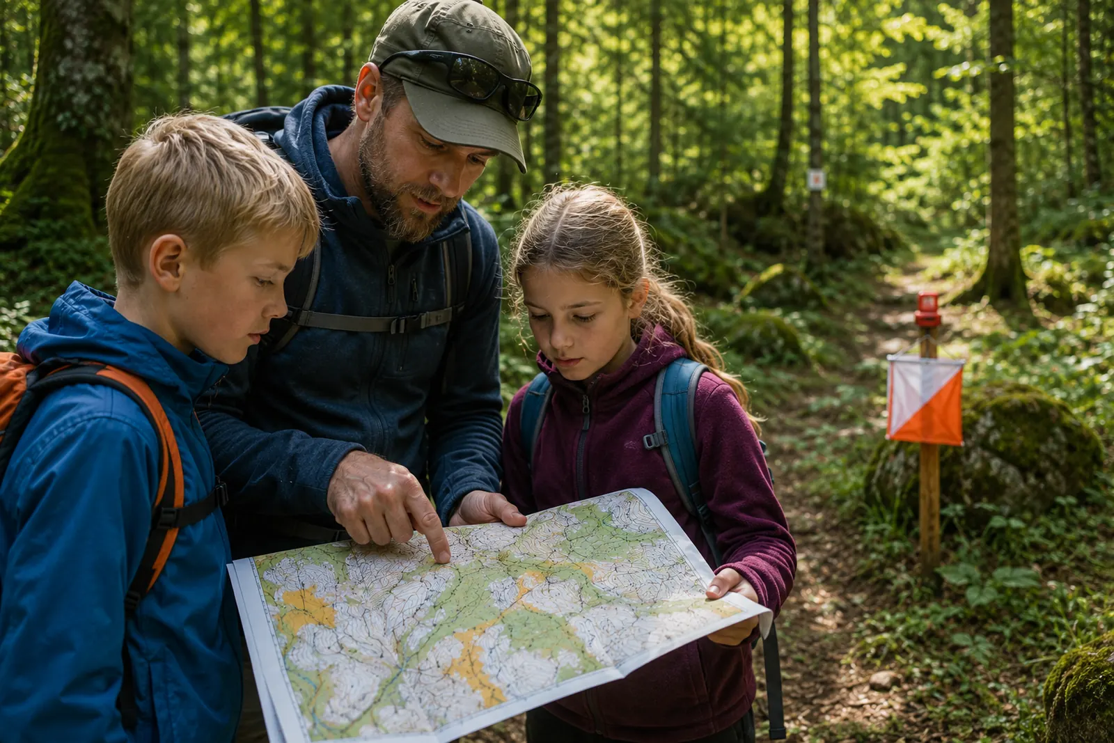
When I was a teenager I won an orienteering race. Not because I was the fastest runner in the field; I wasn’t. I won because I knew that hill. I knew which side of the spur held the good ground, and which line looked shorter on the map and wasn’t.
That is the part that stays with you. The fitness is the entry price. The interesting bit is the decision you make at every control, and the fact that it is yours.
I want my kids to find that out — that the tactical side and the physical side are the same game, and that being clever about a hill counts for as much as being fast up it.
And I know myself well enough: I would run far more often if every run were an attempt at a different route to take a KOM.
Get in early
Get invitations to test runs, new map regions and meaningful product updates. No noise—only useful trail markers.